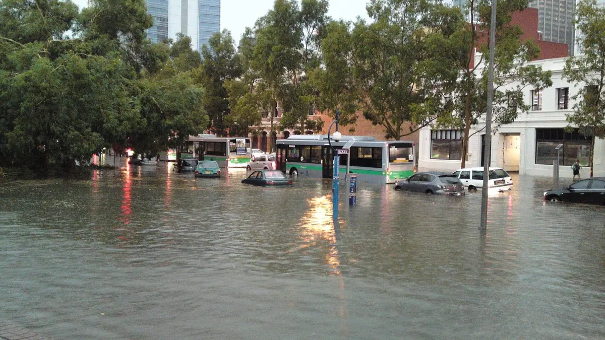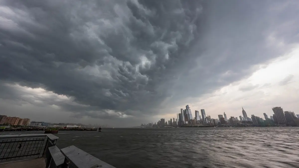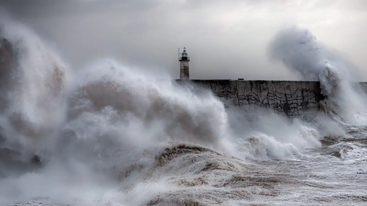
A bomb cyclone is a storm whose central pressure falls by at least 24 hPa (24 millibars) in 24 hours, a threshold set for latitude 60° and scaled down closer to the equator: at the latitude of New York, NOAA puts it at about 17.8 hPa. The technical names are explosive cyclogenesis and bombogenesis, and the result is usually hurricane-force winds, heavy snow or rain and huge waves within a very short time.
A bomb cyclone is not a different kind of storm but a speed of development. An ordinary low deepens over several days; a bomb cyclone does it in one, which leaves much less time to prepare.
Key takeaways
- A storm "bombs out" when its central pressure drops at least 24 hPa in 24 hours at 60° latitude, or about 18 hPa at the latitude of New York or Madrid.
- Meteorologists Frederick Sanders and John Gyakum defined the criterion in 1980; the unit, one bergeron, honors Swedish meteorologist Tor Bergeron.
- Most bomb cyclones form over the oceans between October and March, especially off the US East Coast, in the North Pacific and in the North Atlantic.
- Typical effects are gusts above 120 km/h (75 mph), blizzards, waves of 8 meters (26 feet) or more at sea and coastal flooding.
- In November 2024 a bomb cyclone off the Pacific Northwest reached about 942 hPa and left more than 600,000 customers without power in Washington State.
What is a bomb cyclone in simple terms?
In simple terms, a bomb cyclone is a winter-type storm that strengthens extremely fast. Its pressure falls at a rate of at least one bergeron, 24 hPa in 24 hours measured at 60° latitude. "Cyclogenesis" means the birth or strengthening of a cyclone (a low pressure system), and "explosive" refers to the speed of the process, not to any explosion.
MIT meteorologist Fred Sanders and John Gyakum set out the criterion in a 1980 paper in Monthly Weather Review, building on work by Tor Bergeron in the 1950s, and chose "bomb" for the explosive way these storms deepen. A low that deepens by 2 bergerons has fallen twice the threshold. If you need a refresher on what a low is, read our guide to low pressure vs high pressure weather.
Why does the threshold change with latitude?
The threshold changes because the Coriolis effect, which organizes the spin of a low, weakens toward the equator. To compare storms in different places, the 24 hPa is multiplied by the sine of the latitude and divided by the sine of 60°.
| Latitude | Reference places | Minimum drop in 24 hours |
|---|---|---|
| 60° N | Southern Alaska, Shetland, Oslo | 24 hPa (0.71 inHg) |
| 50° N | English Channel, near Vancouver | about 21 hPa |
| 45° N | Bay of Biscay, Maine | about 20 hPa |
| 40° N | New York, Madrid | about 18 hPa |
| 30° N | US Gulf Coast | about 14 hPa |
| 28° N | Canary Islands | about 13 hPa |
How does a bomb cyclone form?
A bomb cyclone forms when a very strong jet stream aloft lines up with a sharp contrast of temperature and moisture at the surface. The process feeds on itself and gains strength within hours.
The usual ingredients are:
- A powerful polar jet stream. About 10 km (6 miles) up, winds that in the strongest cases exceed 200 km/h (125 mph) draw air away from the top of the storm, and the surface pressure falls.
- An upper-level trough that approaches the young low and reinforces it.
- A strong temperature contrast between polar and mild air, typical of the North Atlantic and North Pacific in winter, and especially sharp where Arctic air flows over the warm Gulf Stream off the US East Coast.
- Plenty of moisture. As water vapor condenses into clouds it releases latent heat, which warms the air, makes it rise and speeds up the pressure fall.
Most cases happen over the ocean between October and March, when the jet stream is strongest. Many US nor'easters are bomb cyclones. Some also develop a narrow band of extreme winds south of the center that meteorologists call a sting jet.
Bomb cyclone vs hurricane: what is the difference?
A bomb cyclone and a hurricane can both bring hurricane-force winds of 118 km/h (74 mph) or more, but they are different storms: a hurricane is a tropical cyclone fed by warm seas, while a bomb cyclone is a midlatitude storm fed by the clash of cold and warm air masses.
| Bomb cyclone | Hurricane | |
|---|---|---|
| Type | Extratropical (midlatitude) low | Tropical cyclone |
| Energy source | Temperature contrast and the jet stream | Warm ocean water, about 26.5 °C (80 °F) or more |
| Fronts | Yes, cold and warm fronts | No fronts |
| Season | Mainly October to March | Atlantic season 1 June to 30 November |
| Wind field | Often very large, strongest winds away from the center | Compact, strongest winds around the eye |
| Typical hazards | Blizzards, wind, waves, coastal flooding | Wind, storm surge, extreme rain |
In the US, hurricanes are tracked by the National Hurricane Center. Hurricane-force winds in non-tropical storms over the ocean trigger hurricane-force wind warnings from the NWS Ocean Prediction Center. For how real hurricanes develop, see how hurricanes form.
Famous bomb cyclones
Bomb cyclones happen every winter, and a few have set records:
- Colorado, March 2019. A bomb cyclone over the High Plains brought blizzard conditions to the Denver area, and the NWS office in Boulder reported 970.4 hPa (28.66 inHg) at Lamar, the lowest pressure ever recorded in Colorado.
- Northeast Pacific, November 2024. A storm off the coast of Washington State deepened to about 942 hPa (27.82 inHg), tying the October 2021 record for the strongest storm off the Pacific Northwest. More than 600,000 customers lost power in Washington, mostly around Seattle's eastern suburbs, and two people died.
- Klaus, January 2009. On 23 and 24 January this storm deepened very fast over the Atlantic and crossed the Bay of Biscay, with gusts close to 200 km/h (124 mph) in northern Spain and serious damage and deaths in Spain and southwest France.
Why is a bomb cyclone so dangerous?
A bomb cyclone is dangerous because it packs wind, waves and snow or rain into a short time with little warning. Because it develops so fast, small changes in its track make a big difference to who gets the worst.
Its most common effects are:
- Very strong wind: gusts above 100 km/h (62 mph) on coasts and high ground that bring down trees, power lines and roofs. To see how wind strength is graded, read about the Beaufort wind scale.
- Blizzards: when cold air is in place, heavy snow and strong wind combine to cut visibility to near zero, as in the 2019 Colorado storm.
- Rough seas: waves that can exceed 8 meters (26 feet) in open water and break over seafronts and harbors.
- Coastal flooding: low pressure and onshore winds raise the sea level, which adds to high tides.
What should you do when a bomb cyclone is forecast?
When a bomb cyclone is forecast and warnings are issued, the safest course is to avoid the coast and wooded areas and cut down on travel while the strongest winds last. Most injuries come from falling trees, flying objects and waves sweeping people off seafronts.
- Stay away from seafronts, piers and cliffs, even if the sea looks calm for a moment: waves arrive in sets.
- Bring in or tie down garden furniture, trash cans and loose objects.
- Avoid parks, forests and areas with large trees.
- If you must drive, slow down and watch for side gusts, especially on bridges and with high-sided vehicles. In a blizzard, do not set off at all.
- Charge your phone and keep a flashlight, water and warm layers ready in case of power cuts.
In an emergency, call 911 in the US and Canada, 999 in the UK or 112 in the EU.
How to follow a bomb cyclone on Clima de Hoy
To follow a bomb cyclone, the most useful thing is to watch the hour-by-hour wind in coastal cities. The hourly forecast for New York shows the average wind speed and the gusts expected for each hour, so you can see when the worst starts and ends.
The rain forecast map animates the precipitation and wind forecast by the GFS model, so you can watch the storm approach. In Europe, the hourly forecast for A Coruña is a good place to see Atlantic storms arrive. For official warnings, rely on your national weather service.
Frequently asked questions
Why is it called a bomb cyclone?
It is called a bomb cyclone because it intensifies "explosively", with a pressure drop of at least 24 hPa in 24 hours at 60° latitude. Fred Sanders and John Gyakum popularized the word in a 1980 paper that also made the definition formal. The term has nothing to do with an actual explosion.
Is a bomb cyclone worse than a hurricane?
Not necessarily. A major hurricane usually has stronger winds near its center and a dangerous storm surge, but a bomb cyclone can cover a much larger area and add blizzard conditions. Both can bring hurricane-force winds of 118 km/h (74 mph) or more.
What is explosive cyclogenesis?
Explosive cyclogenesis is the technical name for a bomb cyclone: the very rapid formation or deepening of a midlatitude low. It is measured in bergerons, where 1 bergeron equals a 24 hPa drop in 24 hours at 60° latitude, adjusted for other latitudes.
When do bomb cyclones happen?
Most bomb cyclones happen between October and March, with a peak in midwinter. In those months the jet stream is strongest and the contrast between Arctic and subtropical air is greatest, especially over the western North Atlantic and the North Pacific.
Can a bomb cyclone bring snow?
Yes. When enough cold air is in place, a bomb cyclone can produce a blizzard, with heavy snow and strong winds that cut visibility. The March 2019 Colorado bomb cyclone is a well-known example.
Weather in your city
- Weather in Ciudad de México
- Weather in Londres
- Weather in Nueva York
- Weather in Bogotá
- Weather in Madrid
- Weather in Buenos Aires
- Weather in París
- Weather in Barcelona
- Weather in Valencia
- Weather in Sevilla
- Weather in Málaga
- Weather in Bilbao