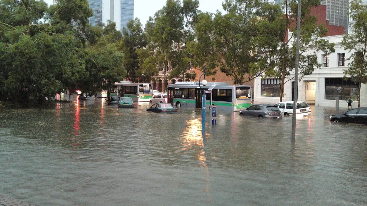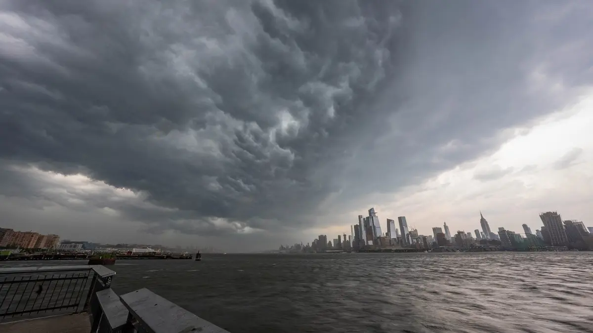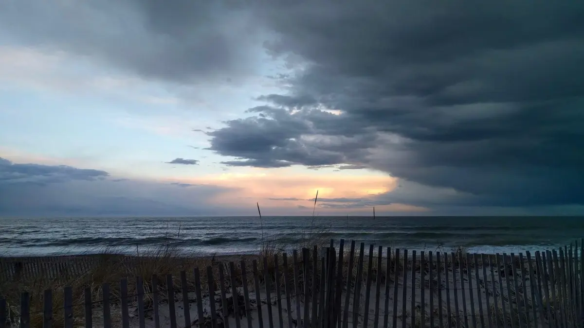
Low pressure weather is usually cloudy, windy and wet, while high pressure weather is usually dry, calm and settled. A low pressure system is an area where air pressure is lower than in its surroundings, so air rises, cools and forms clouds; a high pressure system, or anticyclone, is the opposite: air sinks, warms and clears the sky.
Average pressure at sea level is about 1013 hPa (hectopascals), or 29.92 inches of mercury. But what makes a low or a high is the comparison with the air around it, not a fixed number: a low can sit at 1008 hPa (29.77 inHg) and a high at 1020 hPa (30.12 inHg), while a deep storm can drop below 960 hPa (28.35 inHg).
Key takeaways
- A low pressure system is marked L on weather maps and a high pressure system H; one hectopascal equals one millibar.
- In the Northern Hemisphere wind blows counterclockwise around lows and clockwise around highs; in the Southern Hemisphere it is the other way around.
- Lows bring clouds, wind and rain; highs bring stable, dry weather, but in winter also frost, fog and trapped pollution.
- Large semi-permanent systems such as the Azores High, the Icelandic Low and the Pacific High shape the weather of Europe and North America.
- The lowest sea level pressure on record, according to the WMO, is 870 hPa (25.69 inHg), measured in the eye of Typhoon Tip on 12 October 1979.
What is a low pressure weather system?
A low pressure weather system, also called a depression, a low or an extratropical cyclone, is an area where air converges near the ground and rises. As the air rises it cools, its water vapor condenses and clouds form that can bring rain, snow or thunderstorms.
The lows that reach Europe and the east of North America mostly form along the boundary between cold polar air and warm subtropical air. They are called extratropical because they form outside the tropics, and they carry cold and warm fronts that sweep from west to east. A low that deepens very fast is a bomb cyclone.
What weather do low pressure systems bring?
Low pressure systems tend to bring clouds, wind and precipitation, often in bands linked to their fronts. Ahead of a low the wind picks up and clouds thicken; as the cold front passes, showers and gusts arrive; behind it the air is cooler and clearer.
A deep low has a very low central pressure and a large pressure difference with its surroundings. On a map you spot it because the isobars are packed tightly around the center, which means strong winds. There is no single official threshold: what matters is how tight the isobars are and how close the center passes.
What is an anticyclone in weather?
An anticyclone is a high pressure system in which air sinks from the upper atmosphere and spreads outward at the surface. As it descends, the air is compressed and warms, which dissolves clouds and suppresses rain. Meteorologists call this sinking motion subsidence.
The result is usually clear skies and light winds. But "good weather" depends on the season:
- In summer, high pressure means sunshine, heat and settled nights, and a high that stalls can lead to a heat wave.
- In winter, long clear nights let the ground lose its heat: frost, persistent fog in valleys and a temperature inversion that traps pollution over cities. In the UK, a winter high under a lid of low cloud gives the gray, still days forecasters call anticyclonic gloom.
The word anticyclone means "the opposite of a cyclone": the air turns the other way and the pressure is high instead of low. The highest sea level pressure in the WMO records for a station below 750 meters is 1083.8 hPa (32.00 inHg), measured at Agata, Russia, on 31 December 1968.
Low pressure vs high pressure: what are the key differences?
The basic difference between low and high pressure is the direction of vertical air movement: in a low the air rises and forms clouds, in a high it sinks and dissolves them. Every other difference follows from that.
| Low pressure (L) | High pressure (H) | |
|---|---|---|
| Pressure | Lower than its surroundings | Higher than its surroundings |
| Air movement | Converges and rises | Sinks and spreads out |
| Rotation, Northern Hemisphere | Counterclockwise | Clockwise |
| Rotation, Southern Hemisphere | Clockwise | Counterclockwise |
| Isobars | Usually close together | Usually far apart |
| Wind | Moderate to strong | Light or calm |
| Typical weather | Clouds, rain, wind, rough seas | Clear skies, stable; fog and frost in winter |
| How long it lasts | Usually passes in one to three days | Can stay for weeks |
Why does the wind turn in opposite directions in each hemisphere?
The wind turns because of the Coriolis effect, a consequence of the Earth's rotation that deflects moving air to the right in the Northern Hemisphere and to the left in the Southern Hemisphere. Air flowing into a low is deflected and ends up spiraling around it, so lows spin counterclockwise over the US, the UK or Spain and clockwise over Australia, Chile or Argentina.
Which pressure systems control the weather in Europe and North America?
A handful of large, semi-permanent pressure systems control much of the weather in Europe and North America. They are present most of the year but shift position and strength with the seasons.
- The Azores High. It sits over the subtropical Atlantic near the Azores islands. Its western extension, near Bermuda, is known in the US as the Bermuda High, which pumps warm, humid air into the eastern states in summer. In summer it also stretches toward Spain and Portugal and steers lows north toward the British Isles, leaving Iberia dry and sunny.
- The Icelandic Low. A zone of frequent, deep lows near Iceland, most active in winter, which marks the main track of the Atlantic storms that reach Ireland and the UK.
- The Pacific High. It lies off California and Baja California. Its sinking air explains the dry summers of California and the dry climate of northwest Mexico.
- The Aleutian Low. The North Pacific counterpart of the Icelandic Low, which sends winter storms toward Alaska, British Columbia and the Pacific Northwest.
When the Azores High retreats south in autumn and winter, Atlantic lows can reach Spain. When a high parks over the UK or Spain in winter, expect weeks of dry, cold weather with frost and fog.
Can low pressure weather cause headaches?
Many people with migraine say that weather changes, including falling pressure before a storm, can trigger their attacks, but research on the link is mixed. Studies have not shown that pressure alone causes headaches; it may act together with other triggers.
If you notice a pattern, a headache diary that records the weather can help you and your doctor. A sudden, severe headache, or one with confusion, weakness or trouble speaking, is a medical emergency: call 911 in the US and Canada, 999 in the UK, 112 in the EU or 000 in Australia.
How do you know if low or high pressure is coming?
Air pressure is a simple clue: if it keeps falling for hours, a low is approaching; if it rises and stays high, a high is settling in. The faster the pressure drops, the sooner and stronger the change in weather tends to be.
Clima de Hoy shows how wind, rain and temperature change as each system passes. The 7-day forecast for A Coruña, one of the first cities in Spain that Atlantic lows reach, and the 7-day forecast for London are good places to watch it. The rain forecast map animates the rain bands and wind forecast by the GFS model, which helps you see a low moving from west to east. To learn to spot lows and highs yourself, read how to read a weather map.
Frequently asked questions
What weather does low pressure bring?
Low pressure usually brings clouds, wind and rain or snow, because rising air cools and forms clouds. The deeper the low and the tighter its isobars, the stronger the wind. Lows usually pass in one to three days.
Is high pressure good weather?
High pressure usually brings dry, calm and often sunny weather, because sinking air dissolves clouds. In summer it can bring heat waves, and in winter frost, fog and poor air quality. Whether it is "good" depends on the season and on what you need.
What is an anticyclone in simple terms?
An anticyclone is an area of high pressure where air sinks toward the ground and spreads out. Sinking air warms and dries, so clouds disappear and the weather becomes settled. Winds turn clockwise around it in the Northern Hemisphere and counterclockwise in the Southern Hemisphere.
What is normal air pressure?
Average sea level pressure is about 1013 hPa, or 29.92 inches of mercury. Strong highs can exceed 1030 hPa (30.42 inHg) and deep lows can fall below 970 hPa (28.64 inHg). Forecasts and weather maps always correct pressure to sea level so places at different heights can be compared.
What is the difference between a cyclone and an anticyclone?
A cyclone is an area of low pressure where air rises and spirals inward, counterclockwise in the Northern Hemisphere. An anticyclone is an area of high pressure where air sinks and spreads outward, clockwise in the Northern Hemisphere. Cyclones bring unsettled weather and anticyclones bring settled weather.
Weather in your city
- Weather in Ciudad de México
- Weather in Londres
- Weather in Nueva York
- Weather in Bogotá
- Weather in Madrid
- Weather in Buenos Aires
- Weather in París
- Weather in Barcelona
- Weather in Valencia
- Weather in Sevilla
- Weather in Málaga
- Weather in Bilbao