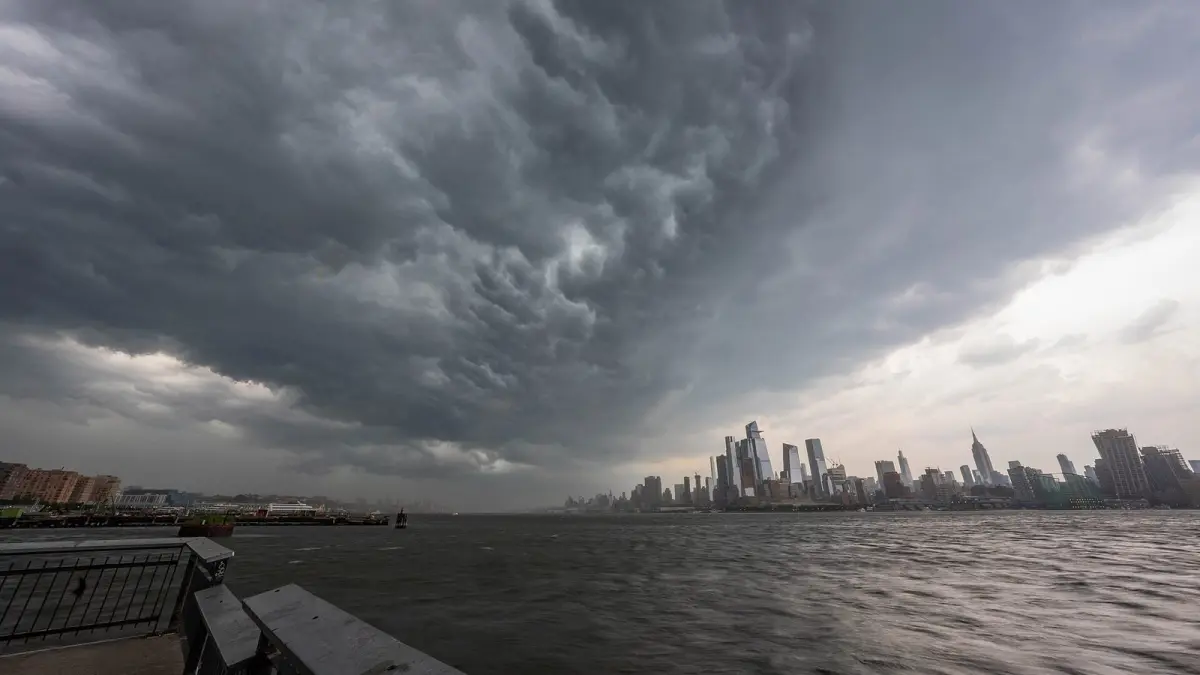
A 14-day weather forecast is accurate enough to show the general trend, such as whether the next two weeks will run colder, warmer, wetter or drier than normal, but not to tell you the exact temperature or whether it will rain in your town on a given day. Forecasts are very reliable for the first three days, still good out to about five to seven days, and from around day 10 they become guidance rather than a firm prediction.
That holds for every app, because they all depend on the same kind of global computer models. Knowing why accuracy fades helps you plan a trip or a wedding without surprises.
Key takeaways
- Forecasts are produced by numerical models such as the European ECMWF model, the American GFS and the German ICON, run on supercomputers.
- The atmosphere is chaotic: tiny errors in the starting data grow every day and limit how far ahead the weather can be predicted.
- As a rule of thumb, days 1 to 3 are very reliable, days 4 to 7 give a good idea, and beyond day 10 only the trend is meaningful.
- NOAA notes that a seven-day forecast is fairly accurate, while a 10-day or longer forecast is right only about half the time.
- Temperature is easier to predict than rain, so rain on a specific day two weeks out is the weakest part of any long range forecast.
How accurate are weather forecasts, day by day?
Weather forecasts are highly accurate for today and tomorrow, good for three to five days, useful for the overall pattern up to about a week, and increasingly uncertain after that. NOAA sums it up simply: a seven-day forecast is fairly accurate, but a 10-day or longer forecast is right only about half the time.
Treat this table as an average: real accuracy depends on the season, the place and the weather pattern.
| How far out | What you can expect | Good for |
|---|---|---|
| 1 to 2 days | Temperature and rain or no rain are usually right; the exact timing of showers and storms is less certain | Daily plans, clothing, commuting |
| 3 to 5 days | A good picture of the type of weather; details can still shift | Organizing the week |
| 6 to 10 days | The general trend: colder or warmer, settled or unsettled | Planning with a backup option |
| 11 to 14 days | Trend only; specific numbers change often | A rough idea, never a decision on its own |
| 15 to 30 days | Only whether the period is likely to be above or below normal | Broad, seasonal-style planning |
How accurate are weather forecasts 3, 5 and 7 days out?
Forecasts have improved a lot: the Met Office has reported that its four-day forecast became as accurate as its one-day forecast had been 30 years earlier. Five days out you can trust the broad picture, and seven days out the forecast usually gets the overall pattern right while the details still move around.
How accurate are weather forecasts 10 and 14 days out?
Ten to fourteen days out, a forecast describes tendencies, not precise events. A run of colder days in week two means far more than one rain icon on day 13.
Why do long range forecasts lose accuracy?
Long range forecasts lose accuracy because the atmosphere is a chaotic system: small errors in the initial measurements grow as the model steps forward in time, until after about two weeks they overwhelm the forecast. The American meteorologist Edward Lorenz demonstrated this in the 1960s, the origin of the famous "butterfly effect".
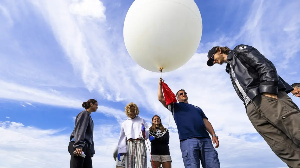
Every forecast starts from a snapshot of the atmosphere built from weather stations, buoys, aircraft, weather balloons, radars and, above all, satellites. Those observations are blended with the previous forecast (data assimilation), and the model then calculates, step by step on a three-dimensional grid, how each cell will change.
No snapshot is perfect: there are gaps over oceans and every instrument has small errors. They barely matter for tomorrow, but by day 10 they have grown enough to change where a low-pressure system tracks or when a front arrives.
Which weather models make the forecasts?
The best-known global weather models are the IFS of the European Centre for Medium-Range Weather Forecasts (ECMWF), the GFS run by NOAA in the United States and ICON from the German Weather Service (DWD).
| Model | Run by | Coverage | Approximate grid spacing |
|---|---|---|---|
| IFS | ECMWF, Europe | Global | 9 km (5.6 mi) |
| GFS | NOAA, United States | Global | 13 km (8 mi) |
| ICON | DWD, Germany | Global, with a European version | 13 km (8 mi) global |
A finer grid captures mountains, coasts and thunderstorms better but needs far more computing power. The ECMWF model is widely regarded as one of the most accurate in the medium range, although no single model wins every time.
What is an ensemble forecast?
An ensemble forecast runs the same model many times from slightly different starting conditions to see how far the results can spread. ECMWF's medium-range ensemble, for example, has 51 members at roughly 9 km resolution and runs twice a day out to 15 days.
When the members agree, confidence is high; when they fan out, with some showing rain and others sunshine, be cautious. This is also where the percentage in a rain forecast comes from: if 30 out of 100 scenarios produce rain, the forecast shows a 30% chance. We explain how to read that number in what a 40% chance of rain really means.
Ensembles are one reason forecasts keep improving. According to ECMWF, the range of its useful ensemble forecasts has grown by around a day and a half per decade.
How accurate is a 14-day forecast for rain?
A 14-day forecast for rain on a specific day is the least reliable part of any long range forecast: it can suggest whether the second week looks wetter or drier than usual, but not whether it will rain on your picnic. Temperature is much more predictable than precipitation at every range.
Some weather patterns are harder to forecast than others:
- Summer thunderstorms are hard to pin down even 24 hours ahead, because they form on very small scales.
- A stable high-pressure system is more predictable than a stormy, changing pattern. Our guide to high and low pressure explains why.
- Cut-off lows, such as the DANA systems that bring torrential rain to Spain, often split the models until a day or two ahead. See what a DANA is if you are traveling there.
- Snow near the rain-snow line is tricky, because about 1 °C (2 °F) can decide between rain and snow.
How reliable is a long range weather forecast a month out?
A forecast a month out cannot predict daily weather; it can only estimate whether temperature and rainfall over a week or a month are likely to be above, near or below normal. Official long range forecasts are written that way on purpose.
- United States: NOAA's Climate Prediction Center issues 6–10 day and 8–14 day outlooks every day, giving the probability that temperature and precipitation will be above, near or below the 1991–2020 normal.
- United Kingdom: the Met Office publishes a long range text forecast in two parts, 6 to 15 days and 16 to 30 days, and stresses that it assesses risks rather than making definitive predictions.
An exact high shown for a date 30 days away is raw model output or a climate average, not a forecast to rely on.
How should you read a 14-day forecast?
Read a 14-day forecast as a trend, not a schedule: look at whether temperatures rise or fall over several days and whether wet days cluster together, rather than at the number for a single day.
- Look at blocks of days. A run of colder days is more reliable than the exact low on day 12.
- Watch the chance of rain. A 20–30% chance two weeks out only says rain is possible.
- Think in ranges. If day 12 shows 14 °C (57 °F), expect anything from a few degrees cooler to a few degrees warmer.
- Check again. Models update several times a day. What matters is whether the trend holds from one update to the next.
- Be wary of distant extremes. A record snowstorm or heatwave shown two weeks out often softens or disappears in later runs.
- Compare sources. When two apps disagree sharply a week ahead, uncertainty is high.
How to check the 7 and 14-day forecast on Clima de Hoy
Clima de Hoy shows an hourly, 7-day and 14-day forecast for every city, using data from Open-Meteo, which blends models from several national weather services and picks the most suitable ones for each location.
Use the hourly forecast for London for today and tomorrow, the 7-day forecast for New York for the week and the 14-day forecast for Madrid for the trend before a trip. The rain forecast map, built from the GFS model, shows how rain, wind and clouds are expected to move over the coming days. For official warnings, follow your national weather service.
Frequently asked questions
How accurate is a 14-day weather forecast?
A 14-day forecast is useful for the general trend, for example whether a colder or wetter spell is on the way, but not for the exact weather on a particular day. Accuracy is high for the first three days, good up to about a week and limited after day 10. Check it regularly to see whether the trend holds.
Is a 10-day forecast accurate?
The first five to seven days of a 10-day forecast are generally reliable, while days 8 to 10 should be read as a trend. NOAA notes that forecasts of 10 days or longer are right only about half the time.
Why does the forecast change so much from day to day?
Each new model run brings in fresh observations and corrects the starting picture of the atmosphere. Several days ahead, small changes in that picture produce big differences in the outcome, especially for rain and in unsettled weather.
Can the weather be forecast a month in advance?
Not day by day. A month out, forecasters can only estimate whether a period is likely to be warmer, colder, wetter or drier than normal. That is how NOAA's Climate Prediction Center and the Met Office present their long range outlooks.
Weather in your city
- Weather in Ciudad de México
- Weather in Londres
- Weather in Nueva York
- Weather in Bogotá
- Weather in Madrid
- Weather in Buenos Aires
- Weather in París
- Weather in Barcelona
- Weather in Valencia
- Weather in Sevilla
- Weather in Málaga
- Weather in Bilbao