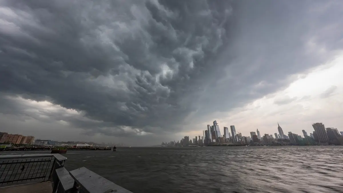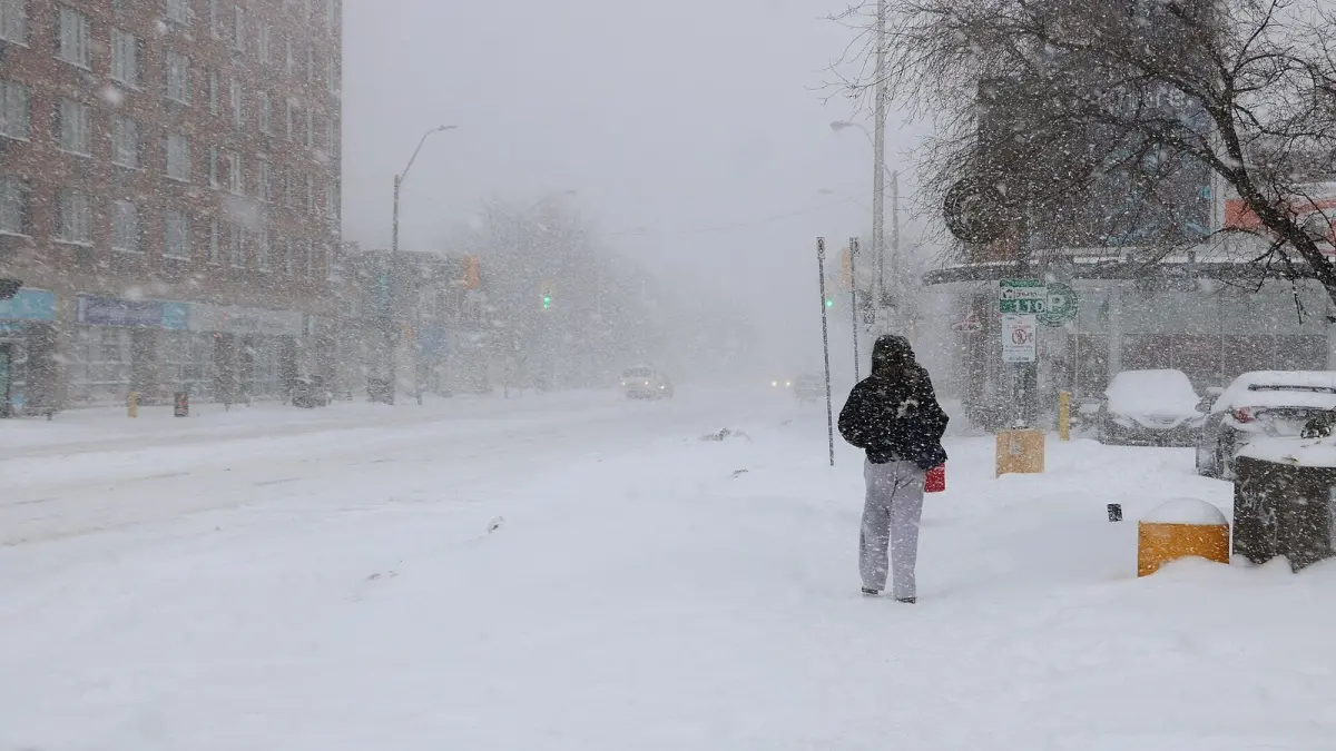
The feels like temperature is the temperature your body perceives rather than the one the thermometer shows: it combines air temperature with wind when it is cold, or with humidity when it is hot. That is why 30 °F (-1 °C) with a 20 mph wind feels like 17 °F (-8 °C), and a humid 95 °F (35 °C) afternoon can feel like 113 °F (45 °C). It is not a physical measurement of the air but an estimate of how fast your skin loses or gains heat.
Key takeaways
- The feels like temperature combines air temperature with wind (wind chill) in cold weather or with humidity (heat index) in hot weather.
- The wind chill index used today was introduced in 2001 by the US National Weather Service and Environment Canada and applies at 50 °F (10 °C) or below with wind above 3 mph (5 km/h).
- The NWS heat index is calculated for shade; full sunshine can raise it by up to 15 °F (8 °C).
- A heat index of 103–124 °F (39–51 °C) is in the NWS "danger" category: heat exhaustion is likely and heat stroke possible with prolonged exposure.
- Official air temperature is always measured in the shade, in a ventilated screen 1.25 to 2 m (4 to 6.5 ft) above the ground.
What does feels like temperature mean?
Feels like temperature means the air temperature that would produce the same effect on your body, in calm and average conditions, as the actual mix of temperature, wind and humidity outside. Lose heat too quickly and you feel cold; fail to shed it and you feel hot.
A thermometer measures only the air. Wind strips away the thin layer of warm air around your body and speeds up heat loss. Humidity slows the evaporation of sweat, which is your main way of cooling down.
That is why there are two families of indices, one for cold and one for heat. Between about 50 °F and 80 °F (10 °C and 27 °C), the feels like temperature barely differs from the real one.
Why is the feels like temperature different from the actual temperature?
The feels like temperature differs because official temperature is measured in standard conditions that are not yours. The World Meteorological Organization sets out that thermometers sit in the shade, inside a ventilated screen 1.25 to 2 m above the ground, precisely so that they measure the air and not the effect of sun or wind.
You, on the other hand, are exposed to three things the screen filters out:
- Wind: in cold weather, every increase in speed pulls more heat from exposed skin.
- Humidity: in hot weather, moist air lets sweat evaporate poorly, so your body cools less. The higher the relative humidity, the worse sweating works.
- Sunshine: in direct sun, your skin and clothes absorb energy the thermometer never sees.
What is wind chill and how is it calculated?
Wind chill is the feels like temperature in cold, windy weather: how cold exposed skin feels because the wind removes heat faster. The current Wind Chill Temperature index was developed by the US National Weather Service and the Meteorological Service of Canada and came into use in 2001. In Fahrenheit it is:
Wind chill = 35.74 + 0.6215·T − 35.75·V^0.16 + 0.4275·T·V^0.16
where T is the air temperature in °F and V is the wind speed in mph at the standard height of 10 m (33 ft). It is only defined for temperatures at or below 50 °F (10 °C) and winds above 3 mph (5 km/h); in calm air, wind chill equals the air temperature. Canada, Spain's AEMET and other services use the same equation in °C and km/h.
Wind chill chart
This chart, calculated with the NWS formula, shows the wind chill in °F, with °C in brackets:
| Air temp | 10 mph (16 km/h) | 15 mph (24 km/h) | 20 mph (32 km/h) | 30 mph (48 km/h) | 40 mph (64 km/h) |
|---|---|---|---|---|---|
| 40 °F (4 °C) | 34 (1) | 32 (0) | 30 (-1) | 28 (-2) | 27 (-3) |
| 30 °F (-1 °C) | 21 (-6) | 19 (-7) | 17 (-8) | 15 (-10) | 13 (-11) |
| 20 °F (-7 °C) | 9 (-13) | 6 (-14) | 4 (-15) | 1 (-17) | -1 (-18) |
| 10 °F (-12 °C) | -4 (-20) | -7 (-21) | -9 (-23) | -12 (-25) | -15 (-26) |
| 0 °F (-18 °C) | -16 (-27) | -19 (-29) | -22 (-30) | -26 (-32) | -29 (-34) |
| -10 °F (-23 °C) | -28 (-34) | -32 (-36) | -35 (-37) | -39 (-40) | -43 (-41) |
Three details matter. First, wind has its biggest effect in the first 15–20 mph and adds less after that. Second, the index assumes night conditions; according to the NWS, bright sunshine can raise the wind chill by 10 to 18 °F. Third, the wind cannot cool objects below the air temperature: a car or a water pipe at 35 °F will not freeze in the wind, even if the wind chill is 25 °F.
What does change is how fast your skin cools. The NWS chart shows frostbite on exposed skin in 30 minutes or less once the wind chill reaches about -18 °F (-28 °C). Our guide on how to stay warm in cold weather has advice for those days.
What is the heat index?
The heat index is the feels like temperature in hot weather, combining air temperature and relative humidity to estimate how hot it feels in the shade. The National Weather Service calculates it with the Rothfusz regression, based on Robert Steadman's 1979 work, a nine-term equation in Fahrenheit that forecasts and apps apply automatically.
Heat index chart
Values in °F, with °C in brackets, by air temperature and relative humidity:
| Air temp | 40% | 50% | 60% | 70% | 80% |
|---|---|---|---|---|---|
| 80 °F (27 °C) | 80 (27) | 81 (27) | 82 (28) | 83 (28) | 84 (29) |
| 85 °F (29 °C) | 84 (29) | 86 (30) | 89 (32) | 93 (34) | 97 (36) |
| 90 °F (32 °C) | 91 (33) | 95 (35) | 100 (38) | 106 (41) | 113 (45) |
| 95 °F (35 °C) | 99 (37) | 105 (41) | 113 (45) | 123 (50) | 134 (57) |
| 100 °F (38 °C) | 109 (43) | 118 (48) | 129 (54) | — | — |
The NWS groups the heat index into four risk levels:
- Caution, 80–90 °F (27–32 °C): fatigue possible with prolonged exposure or activity.
- Extreme caution, 90–103 °F (32–39 °C): heat cramps and heat exhaustion possible.
- Danger, 103–124 °F (39–51 °C): heat cramps and heat exhaustion likely, heat stroke possible with prolonged exposure.
- Extreme danger, 125 °F (52 °C) or higher: heat stroke highly likely.
Heat index vs temperature: does the sun count?
No: heat index values are for shady places. The NWS warns that full sunshine can increase them by up to 15 °F (8 °C), so a heat index of 100 °F in the shade can feel up to 15 °F hotter in direct sun. If you work or exercise outdoors, the risk is higher than the forecast number.
Humidex and apparent temperature: other feels like indices
Not every country uses the same formula, so two apps can show different feels like values for the same hour without either being wrong.
- Humidex (Canada): created by Canada's weather service and used since 1965, it is based on the dew point instead of relative humidity and tends to give somewhat higher values than the heat index.
- Apparent temperature (Australia): Australia's Bureau of Meteorology bases its "feels like" figure on Steadman's 1984 model of an adult walking in the shade, combining temperature, humidity and wind in a single number. Like the heat index, it excludes sunshine.
- Weather apps: many use one combined apparent temperature year round rather than switching between wind chill and heat index. Differences of 1–2 degrees between apps are normal.
Forecasts also use average wind, not gusts, so the chill can briefly be worse.
How to check the feels like temperature today on Clima de Hoy
On Clima de Hoy, each city page shows the current feels like temperature next to the actual temperature, for example in today's weather in New York. It is calculated from the forecast temperature, humidity and wind for your location.
The hourly view shows it hour by hour alongside wind and humidity, so you can decide when to wrap up on a windy winter morning in London by the hour, or which hours to avoid on a sticky summer afternoon in Miami by the hour. If the forecast feels like temperature goes above 104 °F (40 °C), review the warning signs in our guide to heat stroke symptoms.
Frequently asked questions
What does it mean when the feels like temperature is lower than the actual temperature?
It means the wind is speeding up the heat loss from your body, so you will feel colder than the thermometer suggests. At 30 °F (-1 °C) with a 20 mph (32 km/h) wind, for example, the wind chill is about 17 °F (-8 °C). The air itself is no colder, but exposed skin cools faster.
Is feels like temperature more important than the actual temperature?
For dressing and protecting yourself, the feels like temperature is more useful because it reflects how your body responds. For frost, ice on roads or frozen pipes, what matters is the real temperature of the air and the ground, because wind chill does not affect objects.
What is the difference between wind chill and heat index?
Wind chill applies in cold weather and combines temperature with wind speed, while the heat index applies in hot weather and combines temperature with relative humidity. Wind chill is defined at 50 °F (10 °C) and below; the NWS heat index chart starts at 80 °F (27 °C).
What should I do when the feels like temperature is extreme?
In extreme cold, cover exposed skin, dress in layers and limit time outdoors. In extreme heat, avoid the sun in the middle of the day, drink water often and find cool places. If someone shows confusion, very hot skin or uncontrollable shivering, call 911 in the US and Canada, 999 in the UK, 112 in the EU or 000 in Australia.
Weather in your city
- Weather in Ciudad de México
- Weather in Londres
- Weather in Nueva York
- Weather in Bogotá
- Weather in Madrid
- Weather in Buenos Aires
- Weather in París
- Weather in Barcelona
- Weather in Valencia
- Weather in Sevilla
- Weather in Málaga
- Weather in Bilbao